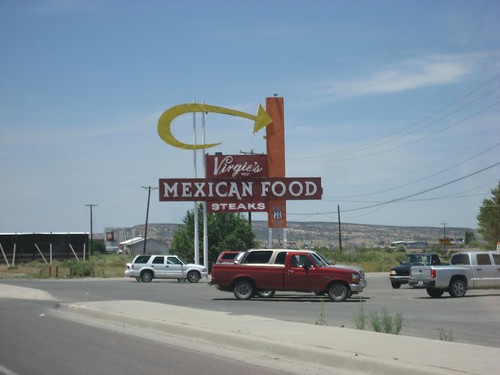
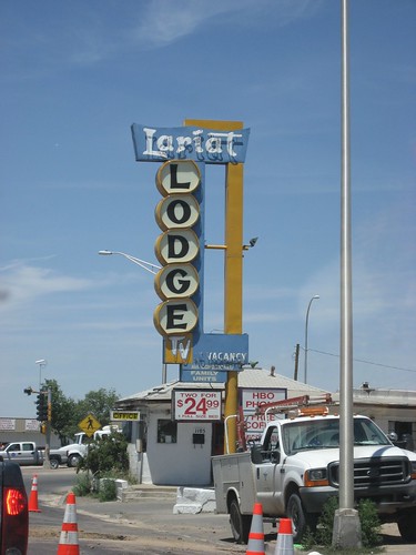
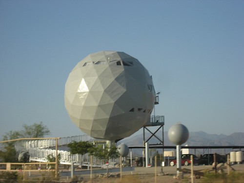
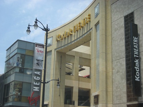
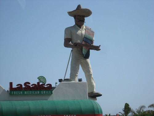
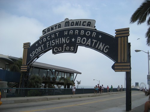
Googie Retro Signs on Route 66
While waiting for my photos to upload, I was doing some ego surfing and found a nice woman named Cordelia had blogged about reading about our Route 66 road trip – and she mentioned that she looked up the word “googie” because I used it several times to describe some of the old retro signs along Route 66. I had intended to include a link to a definition of the term, but didn’t due to the lack of internet; it sort of made it hard to surf around.
Cordelia got a great definition from answers.com:
“Googie” describes a futuristic, often outrageous, building style that evolved in the United States during the 1950s. Googie architecture was designed to attract customers. The name “Googie” comes from a famous coffee shop in Los Angeles. Like the shop, Googie buildings often have flashing lights, sharp angles, boomerang and flying saucer shapes, and lots of glass and steel. On the east coast, googie ideas were expressed in the zig zag rooflines of coffee shops.The Googie style is sometimes called called Coffee House Modern, Doo-Wop, Populuxe, and Space Age.
—The article is attributed to Jackie Craven.
Also, Wikipedia describes “googie” thusly:
Googie, also known as populuxe or doo-wop, is a subdivision of expressionist, or futurist architecture influenced by car culture and the Space Age and Atomic Age, originating from southern California in the late 1940s and continuing approximately into the mid-1960s. With upswept roofs and, often, curvaceous, geometric shapes, and bold use of glass, steel and neon, it decorated many a motel, coffee house and bowling alley in the 1950s and 1960s. It epitomizes the spirit a generation demanded, looking excitedly towards a bright, technological and futuristic age. Googie or Populuxe style of architecture was characterized by space-age designs that depict motion, such as boomerangs, flying saucers, atoms, and parabolas. Building such as this reflects American society’s emphasis on futuristic designs and fascination with space-age themes.
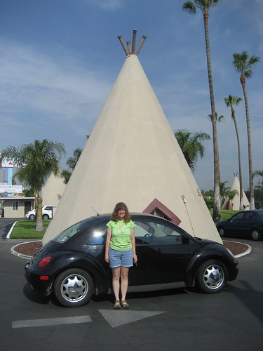
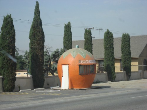
In looking through all my pictures thus far, I have dozens, perhaps even a hundred or so, cool retro signs and buildings from along Route 66, so I’m going to put together, when I get the chance, a flickr photo set of just those pictures. Aside from being really cool, It will help me with some design ideas I have for a project I’m going to work on next…