Route 66 Tour, Day 13 – In California
Yesterday was a pretty tough day driving. We had to travel from Williams, Arizona (about 1/3 of Arizona left to traverse) to Victorville, California (most of which is across desert). As we traveled through the day, the temperature kept climbing – I believe it topped out at 127 degrees at one point.
We stopped off in Seligman, Arizona and met Angel Delgadillo, one of the icons of Route 66. Angel has owned a Barbershop on Route 66 for decades, nearby is the Snowcap restaurant that his brother Juan owned. The town of Seligman is one of the first to start to preserve the history of Route 66, which is why in western Arizona, the Mother Road is meticulously taken care of and well marked.
We made a couple more stops at some old gas stations – one in Hackberry, which is basically a ghost town now except for a General Store, and one in “Cool Springs” that was anything but “cool” – this is where we really started noticing how seriously hot the weather was and the VWs were noting the exterior temperature of over 110 degrees. Cool Springs was an important stop for early Route 66 travelers before the next leg of their trip. For many years, it was a ruin, but has now been restored.
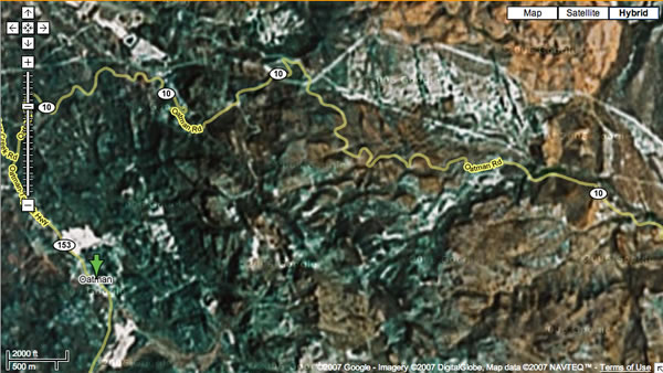
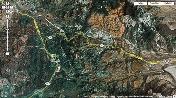
The Oatman Highway and Sitgreaves Pass through the Black Mountains from Kingman into California – what can I possibily say about it? Oh, a lot.
First read a bit about it:
There are two Route 66 alignments from Kingman southwest to the California border. The pre-1952 alignment along the Oatman Highway is by far the most beautiful, providing numerous photographic opportunities, legendary Route 66 icons, and a peek at the wild old west in historic Oatman, Arizona.
However, this old route travels through notorious Sitgreaves Pass, the most intimidating portion of Route 66, with its steep grades, narrow road, and sharp hairpin curves. In addition, the highway does not allow vehicles over 40 feet, so, if this is you, think about coming into Oatman from the south through Topock, an easier route.
This is the section of road featured in the Lucille Ball/Desi Arnaz movie called “The Long, Long Trailer” – where they drive over it in an RV, ironically, that’s illegal to do.
Update: after googling, this isn’t road from the movie – someone told us that along the way, but it was actually another road in California.
I had no idea what we were going to drive through. Nine miles of winding road up the Black Mountains and back down, with sheer cliff drops on the right side of the road. Gorgeous, and very very difficult to get through, even at 15 miles an hour. The rest of the caravan was ecstatic to be on it; we were terrified. I’ll try to do a google map image of it from above if I can do it through my cell phone internet connection (still no wireless at the Motel 6, even near L.A.) ; it is pretty amazing. Here’s a pretty good image of part of it, from this link.
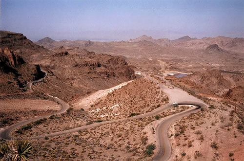
And something I will never, ever be doing again. Between the Grand Canyon and this, I believe I’m also finished with rollercoasters, too. What was I saying the other day – I grew up in Iowa, where it’s nice and flat, and you can’t fall off things?
At the bottom is the little town of Oatman, Arizona – a tourist spot that still resembles the Old West mining town that it once was. Back in 1939, Clark Gable and Carole Lombard spent one of their honeymoon nights in the 1902 historic Oatman Hotel. They are also famous for the burros that hang out in the streets (And follow you around, hoping you have carrots.)
After a few minutes shopping and recovering from the Sitgreaves Pass experience, we headed out towards Needles, California.
Just as we were getting into Needles, California, Earl’s car started to have serious problems. We pulled into a 76/Conoco station so the guys could try to figure out what was wrong, and the manager ran us off because he thought we were interferring with his business. So we moved to the snow cone shop across the street, and they were kinda crabby with us, too. Eventually some of us had to park our cars at the Jack-In-The-Box across the street and get in out of the heat.
After an hour and a half, the guys got the car fixed, and we got back on the road – we still had about 2 and a half hours of driving to get to Victorville, and we were a bit behind. The rest of the drive was pretty uneventful, but tiring. Once the sun went down it was a bit easier to travel, but the beginnings of L.A. traffic driving into Victorville – we’re really nervous about getting around today.
California Sunset
Two more hours before we stop in Victorville, CA.

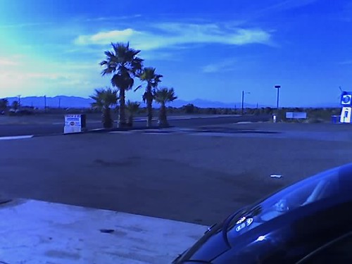
Gassing up in Needles, California
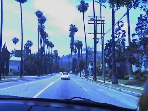
Palm trees 4 Mike Packer
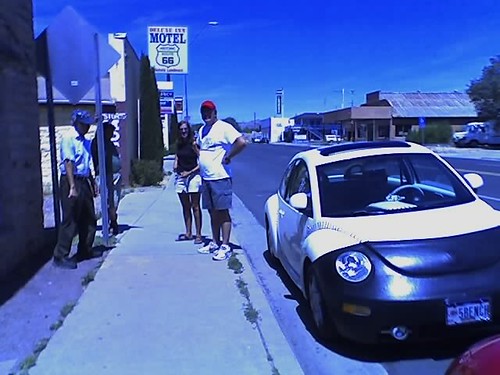
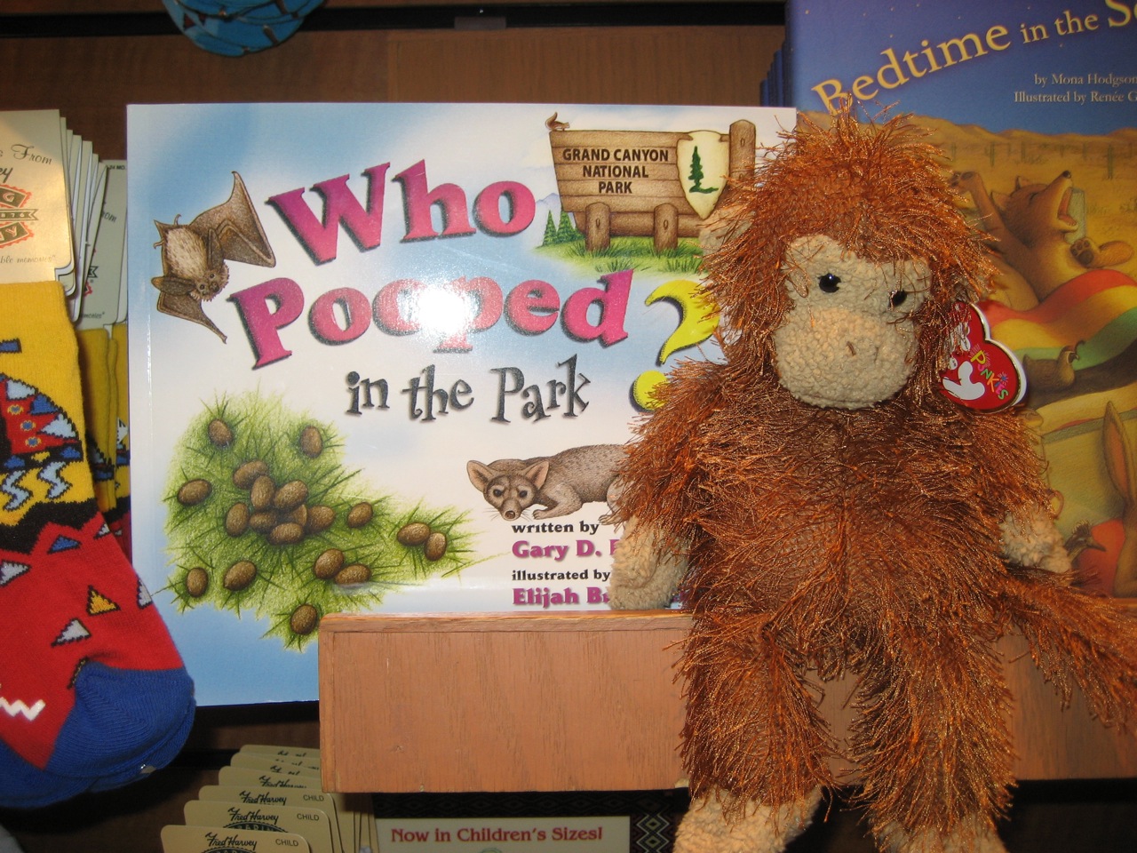
Seligman, Az
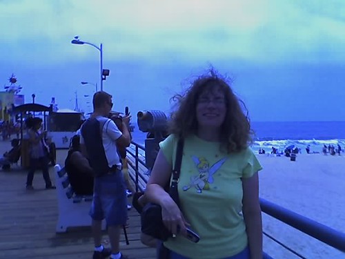
Angel Delgadillo, owner of Angel’s Barbershop and Route 66 icon, is on the left, Jerry and Kathy are showing him Homer the baseball beetle. He was tickled pink with it. Homer got lots of attention everywhere we went.
Route 66 Tour, Day 12 – Morning at the Grand Canyon
Yesterday was pretty spectacular. We took Phoebe off to get a tire here in Williams, early in the morning, and got a call from everyone while we were there to say that we had to catch the earlier train to the Grand Canyon rather than the one we had reserved. So we left the car at the tire place, with the tire guy (named PeeWee) and took off.
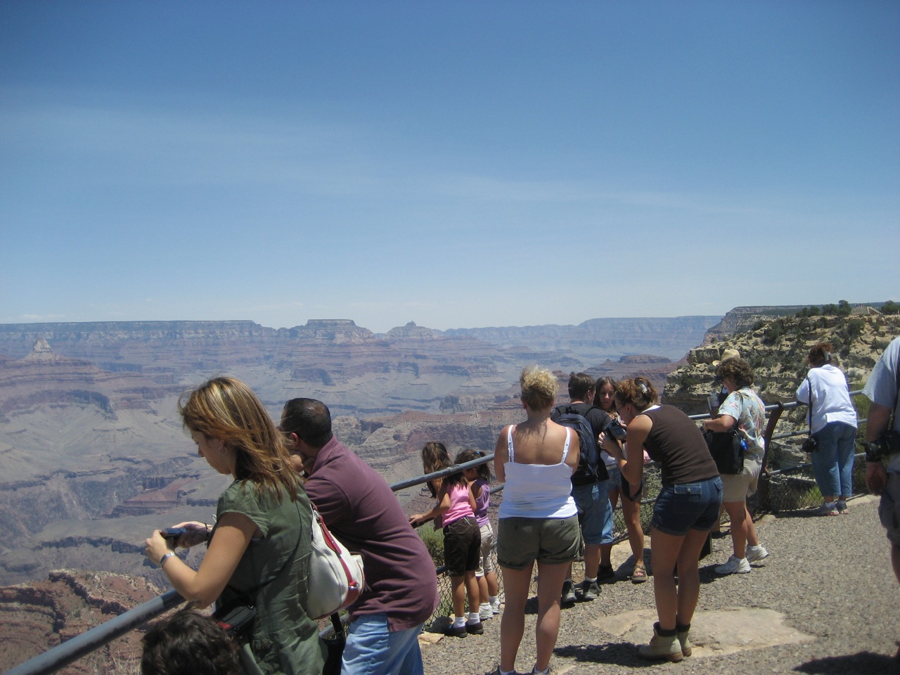
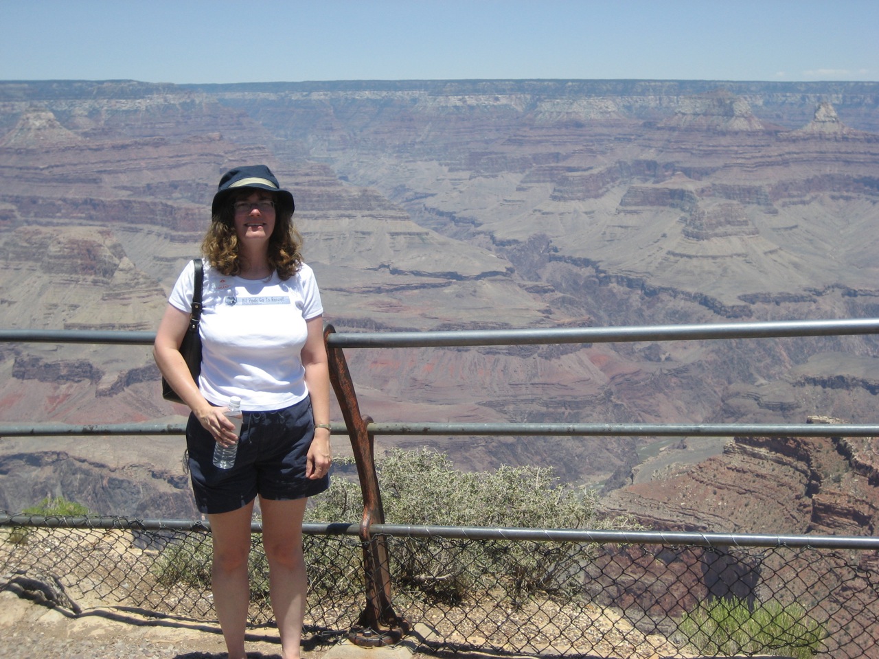
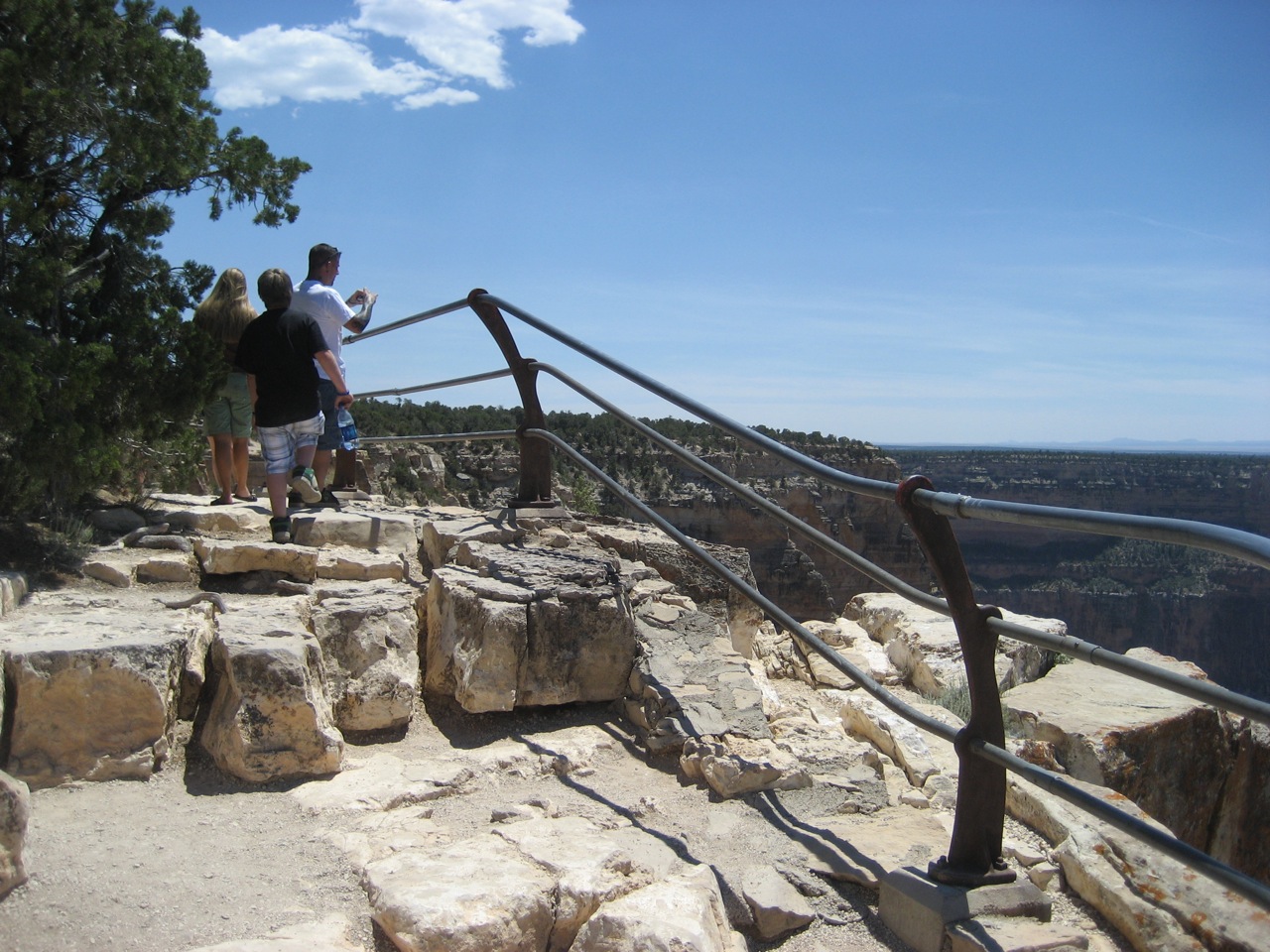
The train ride from Williams to the Grand Canyon Village is about an hour and a half, and they have entertainment on the train; guys walk around singing western tunes. You can pick an 1920’s era passenger car to ride up to the canyon in, or a later, air-conditioned one; we chose the air-conditioning because it was threatening to be a record heat day. We got a bus tour at the top of the canyon that included lunch, so they fed us a buffet and drove us to a couple of different points at the south rim of the canyon to take pictures.
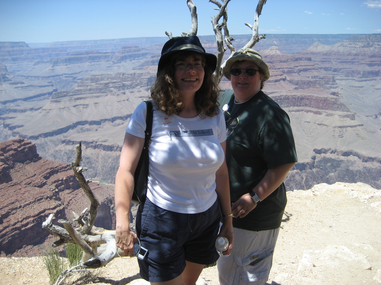
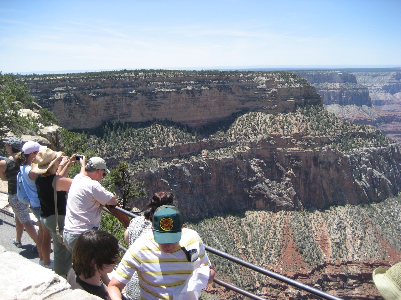
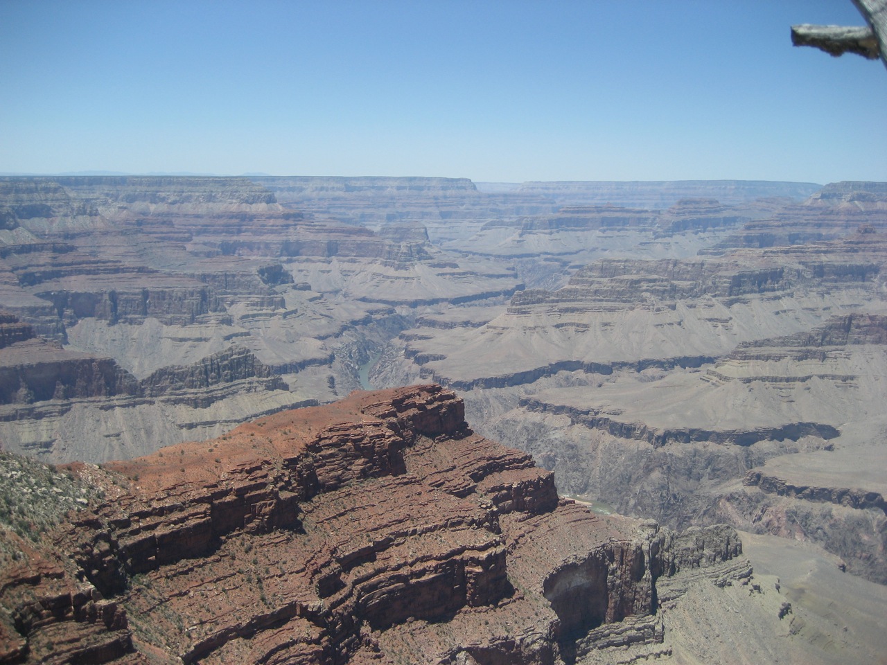
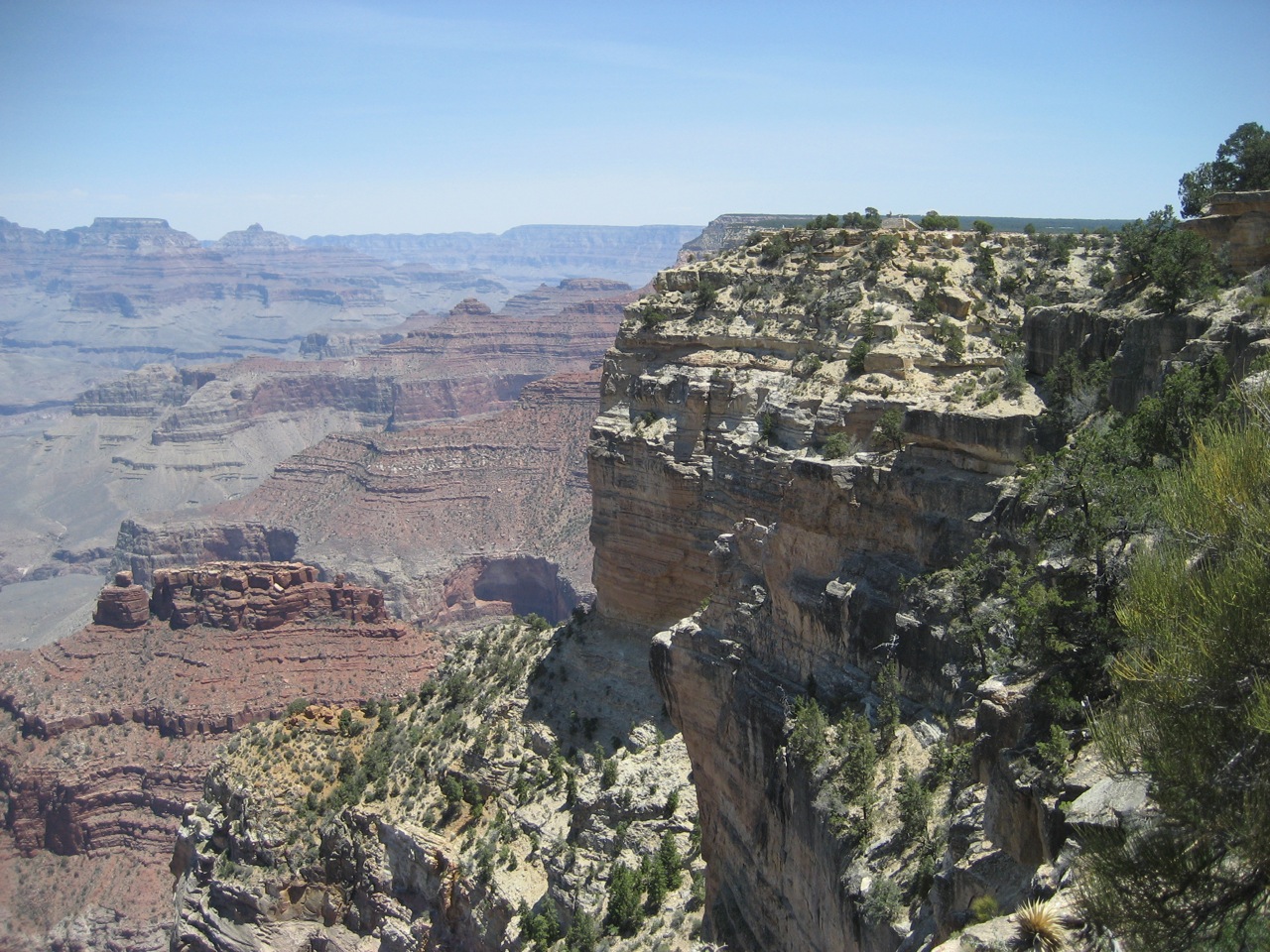
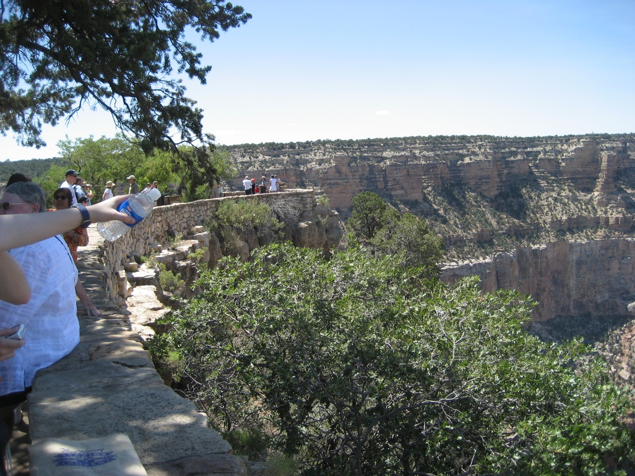
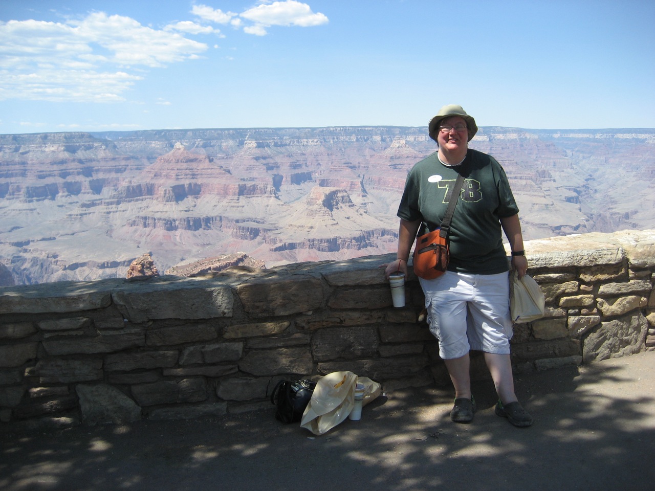
The Grand Canyon is definitely one of the most spectacular, awe-inspiring things I’ve ever seen. The size of it is mind-boggling and almost impossible to take in. I tried to do some shots from west to east and took 10 shots that I’ll try to stitch together into a single picture later. And that’s just of the rim; I did the same thing from the horizon down into the canyon and took six photos from the skyine down to the canyon bottom.
We took pictures from Hopi Point and Mohavi Point. The bus driver couldn’t get into the Bright Angel point to stop, unfortunately. Bright Angel is where people take the mule rides down into the canyon, and would have been pretty interesting, because at that point you can watch people on the mule tours. So he took us back to the village and we visited the El Tovar hotel, which is a 5-star hotel on the south rim. We took more photos from there, and visited the gift shop.
I’m really terrified of heights, and visiting the Canyon did nothing to change that; amazing to view, but if you aren’t careful, very dangerous. A couple people here and there seemed pretty unconcerned about their kids, which made me nervous, because this isn’t Disneyland. A few months back, I heard an NPR program interviewing Michael G, the author of a book called “Over the Edge: Deaths at the Grand Canyon” that scared the heck out if me; the book he wrote was in all the gift shops so I got a copy. Between 4 and 5 million people visit the Grand Canyon every year, and they average about 350 rescue missions each year – 80 percent of those are for people hiking down into the canyon, and the other 20 percent are people falling from the top. Some years no one dies, other times it can be 8 to 10 people a year. After reading some of the book on the train home, I was more afraid after leaving.
Boy was it hot, too. We had extra water with us, and we were all still pretty scorched by the time we got to the El Tovar. I’m really glad we stopped and got prednisone in Roswell; I’d have been miserable walking around without it.
I can’t even tell you how much I enjoy being on vacation with Stephanie – she’s so fun to travel with, and I’m so lucky to get to do things like this with her. I’ve had a really great trip, even with things like the car tire going on. I love Stephanie more every day, and I never imagined that I’d be able to spend 24 hours a day with someone for weeks and still want to be around them, talking to them every minute. It’s also excellent to be traveling with this group of people; lots of really nice, caring folks who look out for one another.
We took the train back to Williams in time top pick up the car (PeeWee took good care of her) and pick a spot to watch the 4th of July parade in Williams. It’s a pretty small town, and a fun little parade. We ate dinner in town and walked over to watch the towns fireworks. Either we didn’t have a good vantage point, or they have a really small fireworks show. It’s possible they limited it because of the extreme fire danger; that was happening lots of places here in Arizona.
Still no wireless at the Motel 6, so I’ll upload the 280 pictures I took at sometime in the future, when we get to a place where I can.
Today, we’re losing some parts of our caravan; John and Laura, and Cori and her mom Verlaine have to turn around and head back to points east, and Mike and Luke are going to go on ahead to California, where they’re both from, to get home at a decent time. I think Luke is going to come back to meet us at some point. I’m not sure what the sight-seeing plans are for the next few days; all I know is that we head out this morning at 8:30 a.m. for points west.
- Go to the previous page
- 1
- …
- 29
- 30
- 31
- 32
- 33
- 34
- 35
- …
- 83
- Go to the next page